HERITAGE PHOTOGRAPHY & DOCUMENTATION
Documentation of Conservation Works at Jamtey Goenpa
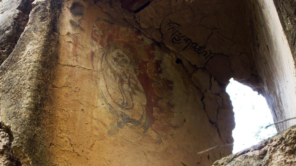
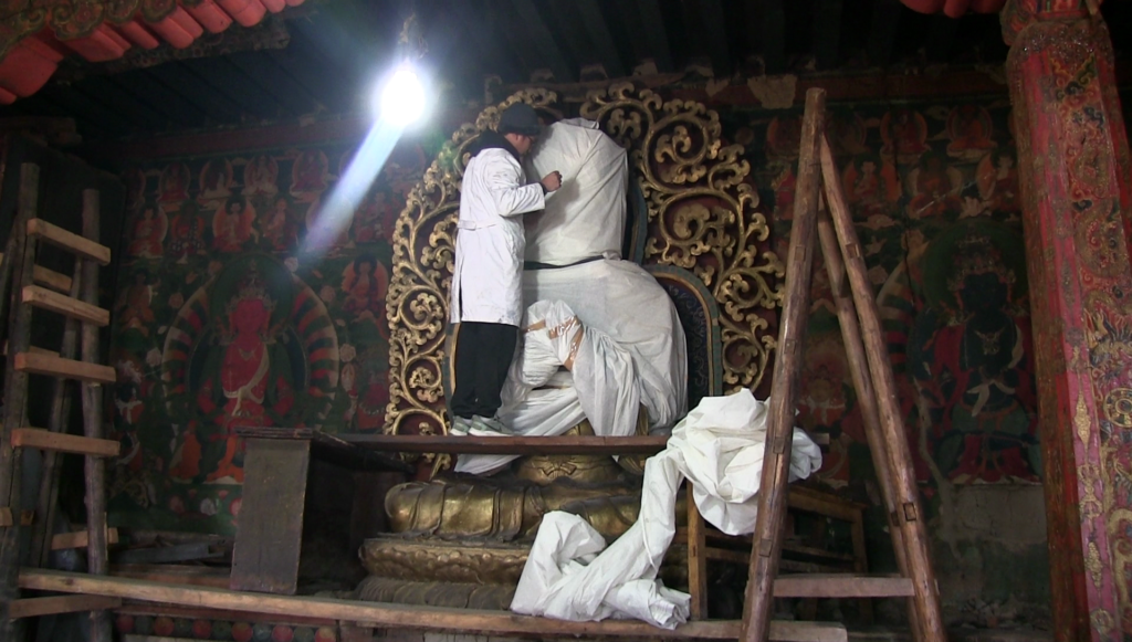
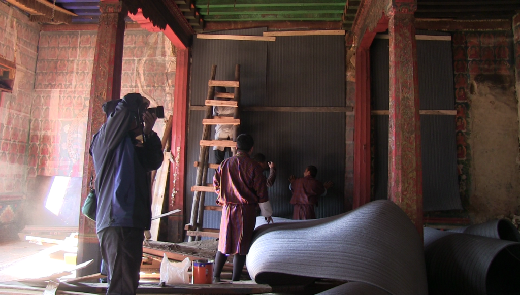
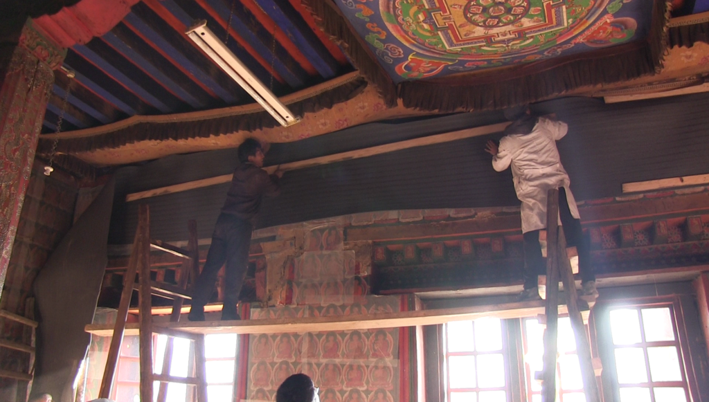
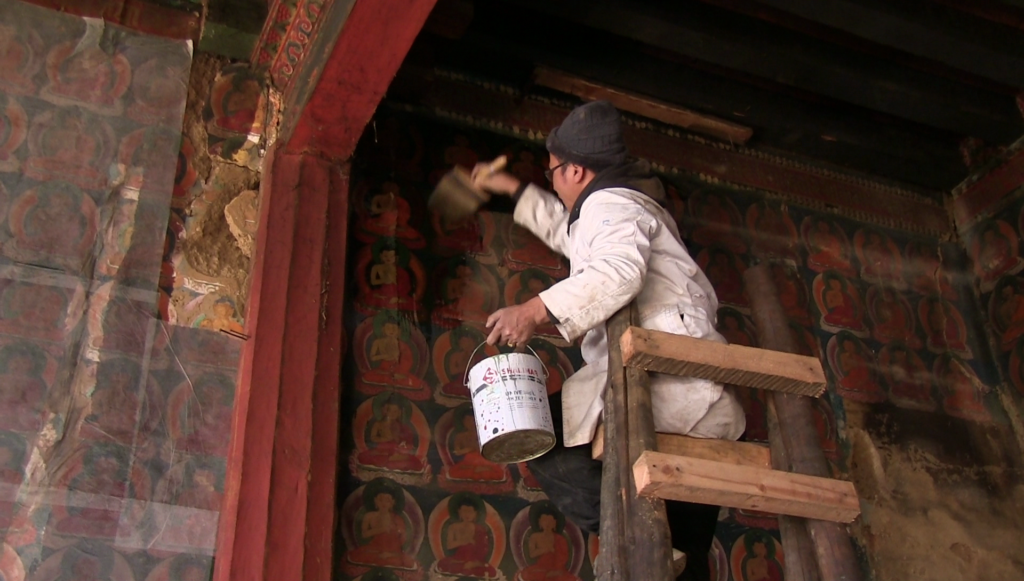
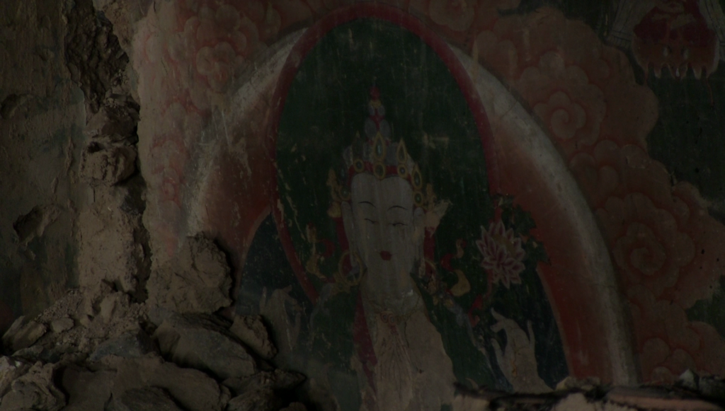
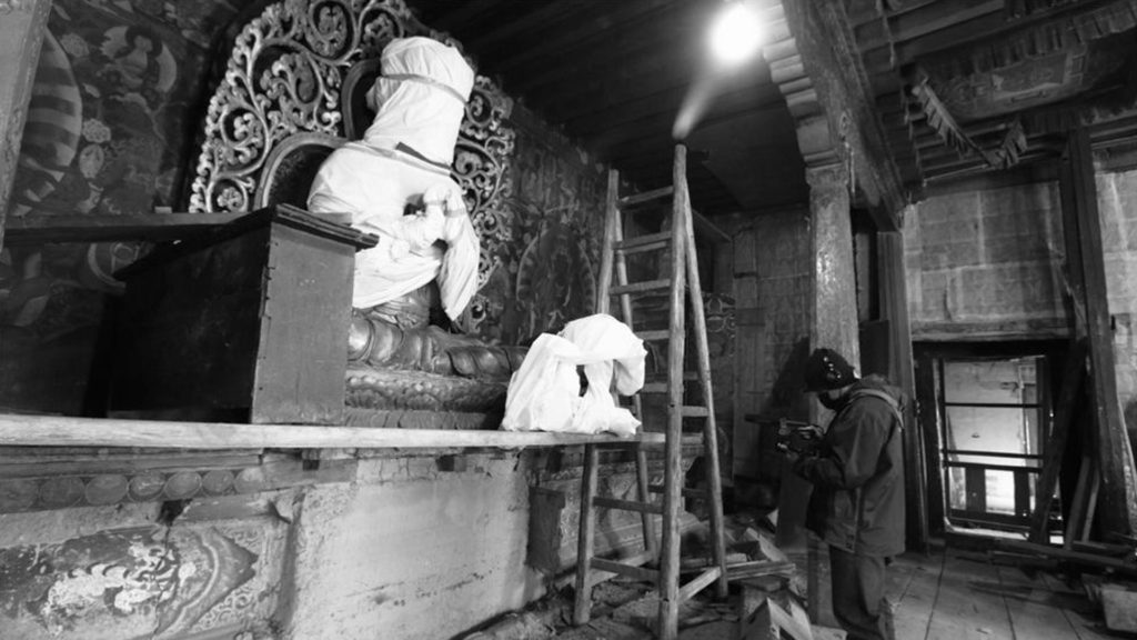
As part of a conservation project at Jamtey Goenpa, I was responsible for documenting various stages of the conservation process through photography and videography. The project focused on the careful removal, conservation, and preservation of historic murals, and my role involved capturing photographs of artifacts and creating time-lapse videos to record key stages of the work.
In addition to visual documentation, I assisted in the use of Faro 3D scanning technology to capture detailed digital records of the temple’s interior and exterior spaces. The scans produced accurate three-dimensional representations of architectural features and artistic elements, providing valuable reference material for conservation and documentation purposes.
This project allowed me to gain experience in heritage documentation using a combination of photography, videography, time-lapse recording, and 3D scanning technologies. The resulting digital records contributed to the long-term documentation and preservation of Bhutan’s cultural heritage.



Cultural Heritage Site Mapping
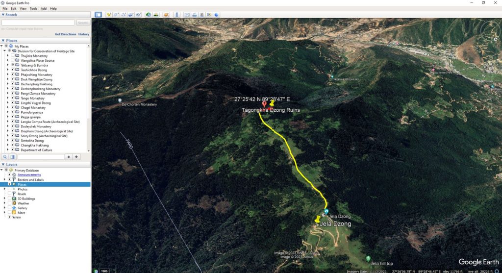
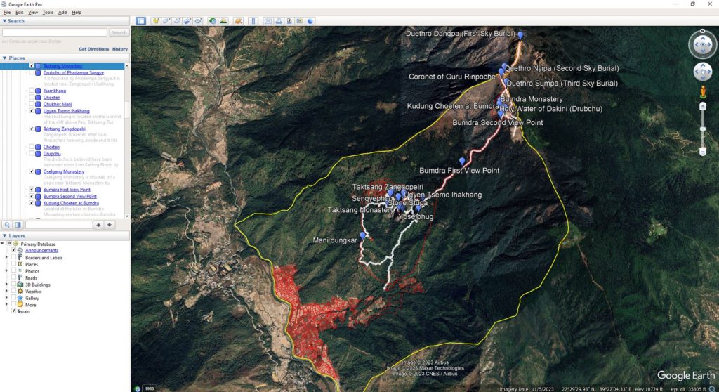
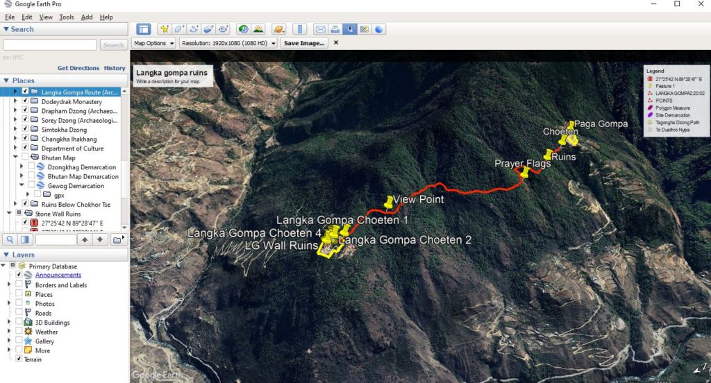
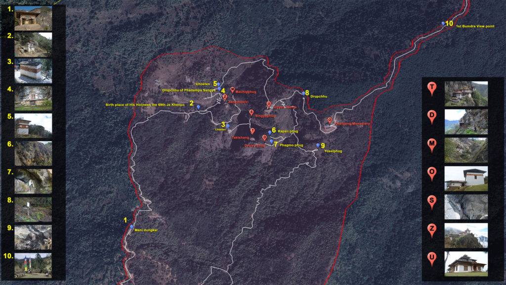
Using handheld Garmin GPS devices, I collected geographic coordinates of heritage sites and integrated the data into Google Earth, QGIS, and Google Maps. This information was used to create maps for site documentation, planning, and field reference purposes.
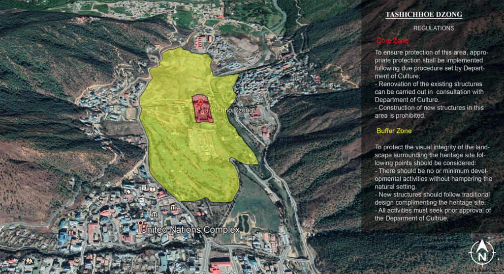
Working closely with conservation architects and engineers, I assisted in mapping core areas and buffer zones around heritage sites based on conservation guidelines and expert recommendations. These maps helped visualize site boundaries, surrounding features, and areas requiring protection, supporting informed decision-making in heritage conservation and management.
Through this work, I gained practical experience in GPS data collection, GIS mapping, spatial data management, and the use of geospatial technologies in the preservation and management of cultural heritage sites.
Heritage Site Documentation and Mapping
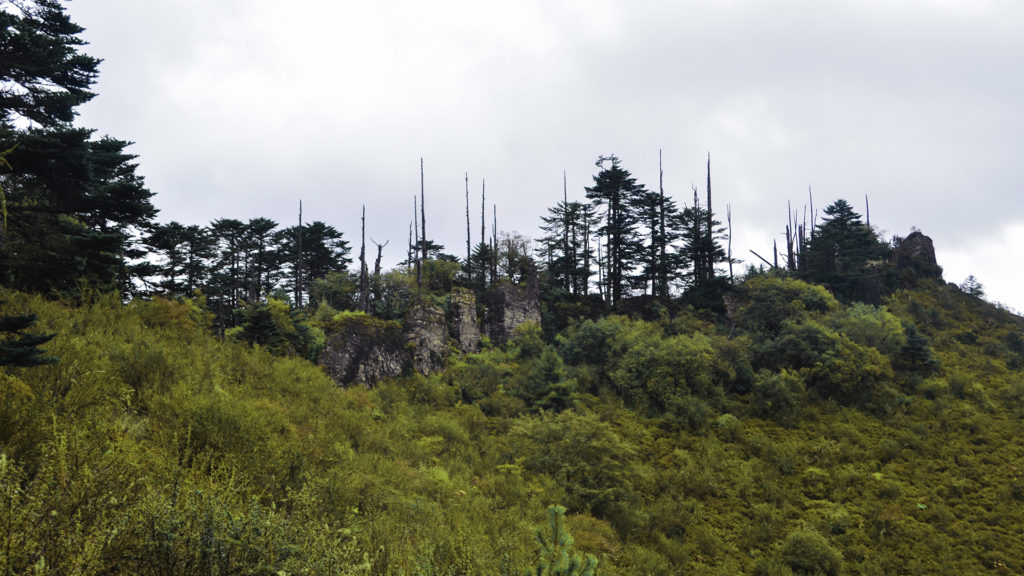
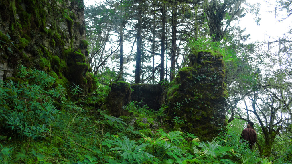
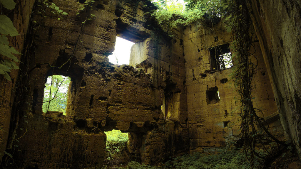
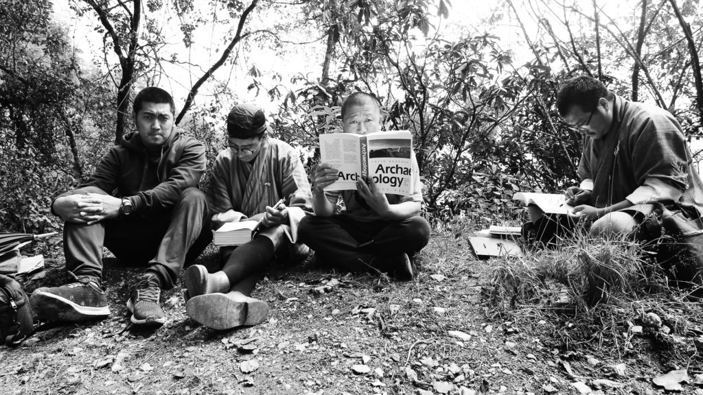
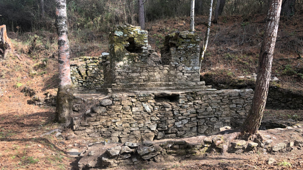
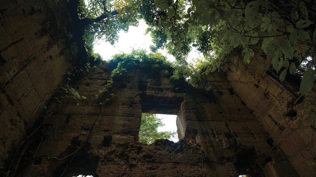
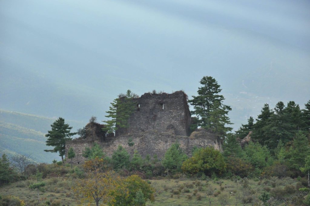
As part of my role at the Division for Conservation of Heritage Sites, I contributed to the documentation of cultural heritage sites across Bhutan. My responsibilities included photographing sites, artifacts, and field activities during visits with conservators, archaeologists, and other specialists.
I also used a Garmin GPS device to record the locations of heritage sites. The collected coordinates were later integrated into mapping platforms such as Google Maps and GIS software to support site documentation, management, and future reference.
The photographs and location data collected during these visits formed part of the documentation records for the sites. The images were archived to support future research, conservation efforts, and ongoing documentation, ensuring that valuable visual records would be available for future reference.
Through this work, I gained practical experience in heritage documentation, GPS data collection, field surveying, and digital mapping while contributing to the long-term preservation of cultural heritage information.